Hokkaido University and Japan Airlines Co., Ltd. signed a partnership agreement in June 2022 to address various social issues in Hokkaido and lead the creation of a sustainable society.

As part of this collaboration, Hokkaido Air System Co., Ltd. will equip one of its aircraft with an external camera to commence the world’s first regular flight-based red tide monitoring starting in the summer of 2025.
READ MORE: Holographic 3D microscope shows potential as red tide warning system
The captured image data will be used to detect red tide occurrences early and promptly provide information to fisheries stakeholders, thereby preventing damage to marine environment as well as the fishing industry. In the future, the system is also expected to be used for broader environmental monitoring of forests and oceans.
Red tide damage
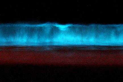
Red tide is a phenomenon in which marine phytoplankton blooms, turning seawater reddish-brown, causing mass fish deaths and significant damage to the fishing industry. With the increase in red tide occurrences due to global warming, Hokkaido experienced over 9.7 billion yen in damages in 2021. Therefore, early detection and prevention of red tide damage through monitoring are essential.
Regular flight-based monitoring is expected to be effective due to the frequent and consistent flight routes of regular flights, allowing for extensive and high-frequency observations.
An ATR42-600 aircraft (registration number: JA13HC) owned by HAC will be equipped with a multispectral camera (*2) on the lower rear fuselage panel for monitoring from regular flights.
The monitoring routes will include Sapporo (Okadama) - Hakodate, Hakodate - Okushiri, and Sapporo (Okadama) - Rishiri, targeting Hakodate Bay, Funka Bay, Okushiri Strait, and Rishiri Channel. (Initial monitoring will focus on Hakodate Bay.)
Visualising distribution
The images captured by the cameras will be transferred to Hokkaido University, where Professor Akihide Kasai of Faculty of Fisheries Sciences will use a red tide detection method to visualize the distribution. The accuracy of red tide detection will be improved through repeated validation, and methods for communicating information to fisheries stakeholders will be explored.


No comments yet